| 📍 | Objective: identify a city and link it to its commune, department, and region. |
| 🗺️ | Useful map: the administrative map shows the official division, not just the geographical position. |
| 🏛️ | Key reference: in France, the commune is the most precise administrative base to locate a city. |
| 🔎 | Simple method: city name, then check the department, then the region, then the postal code if needed. |
| ⚠️ | Common pitfall: confusing the city in the usual sense with the commune, the urban area, or the agglomeration. |
| ✅ | Good reflex: cross-check map, official code, and institutional source to avoid homonyms. |
Finding a city on a map of France seems simple at first glance, but the real location involves three levels that are often confused: the commune, the department, and the region. When read in the correct order, the identification becomes clear, quick, and above all reliable.

Table des matières
How to find a city on the administrative map of France?
The most effective way is to search for the exact name of the city, then verify its attachment to a commune, a department, and a region. If the name exists in several instances, the postal code or the official source helps to remove ambiguity. This method avoids the most common localization errors.
The right logic is not to start blindly from the map, but to enter by the city name, then work back up to the administrative division. This is especially useful when there are several communes with similar names, or when the same city is known by a common name different from its administrative title.
- Identify the exact administrative name of the city or commune.
- Check the department: this is often the best level for immediate validation.
- Verify the region: it provides the broader territorial framework.
- Cross-check with the postal code or the INSEE code if the name is ambiguous.
- Zoom in on a map only after these verifications.
The most useful map is not the one that “looks nice,” but the one that unhesitatingly links a city to its commune, its department, and its region.
As soon as one reasons in administrative layers, the location becomes much more solid. A city is not just a point on a map: it is also a territorial unit, an official name, sometimes a code, and a set of references that allow it to be found without approximation.
What is the difference between city, commune, department, and region?
In common usage, we say “city” for simplicity. Administratively, the commune is the basic unit, the department frames the territory at an intermediate level, and the region groups several departments. This hierarchy serves to correctly locate a place on an administrative map of France.
The confusion comes from the fact that the word city often refers to a broader entity than the administrative reality. A city can correspond to a commune, but the term can also encompass an agglomeration, a suburb, or a living area. For an administrative map, the commune is what counts first, as it carries the official reference name.
The department serves as an intermediate reference point. It helps to quickly locate a municipality within a larger area, providing a more readable view than municipal boundaries alone. The region then provides the macro framework: it groups several departments and allows understanding the territorial anchoring of a city on the map of France. To visualize this division at a glance, a reference map like https://www.franceroutes.net/cartographie/carte-de-france-departements-et-regions-2025-decoupage-administratif-complet/ avoids makeshift solutions and dubious interpretations.

In other words, if the city is the name you pronounce, the municipality is often the name you need to verify to avoid locating the wrong place.
Which tool to use depending on the level of precision sought?
The right tool mainly depends on the expected precision. For a quick search, an administrative map is more than sufficient. To verify an official correspondence, one must use institutional databases. And if the goal is to compare several cities with each other, a ranking or local geography tool becomes more useful than a simple static map.
| Need | Most useful tool | What it verifies | Limit |
|---|---|---|---|
| Quickly find a city | Administrative map | General position, department, region | Not very precise for homonyms |
| Validate an official name | INSEE database / public data | Municipality, code, territorial affiliation | Less visual |
| Understand the territory | Map by regions and departments | Administrative division | Does not provide municipal detail |
| Compare cities | Comparator or local guide | Living environment, services, attractiveness | Not a pure localization tool |
For administrative references, the General Code of Territorial Collectivities remains a useful basis, as it frames the place of municipalities, departments, and regions in the French organization: General Code of Territorial Collectivities. To cross-check a municipality name or territorial information, the INSEE search remains a good entry point: INSEE – search on municipalities.
When the search goes beyond simple locating to become a real life choice, the map is no longer enough. This is where a comparison guide takes over, for example to decide between a more compact setting and a larger territory, as in this article on medium-sized city or large metropolis. The same logic applies if you are looking for a city with a specific daily use, as in this comparison of French cities for sports.
What mistakes waste time when searching for a city?
Errors almost always come from rushing to a shortcut. You read a familiar name, assume the right department, then move on. Yet a city can be a homonym, change its useful perimeter depending on the map, or be confused with a larger urban area. A two-step check is often enough to avoid the blunder.
- Confusing city and municipality: the common name does not always correspond to the correct official division.
- Relying solely on the postal code: it helps, but it does not replace territorial verification.
- Forgetting the map scale: a map that is too zoomed in sometimes hides the department or region.
- Neglecting homonyms: several municipalities can share a similar or identical name.
Another classic trap is mixing up administrative maps and tourist maps. The first is used to locate a city within an official framework; the second often highlights points of interest, routes, or visiting areas. Both are useful, but they do not answer the same question. If the uses are mixed, the location quickly becomes unclear.
A common mistake is to look for the “right city” on a map without first checking the correct administrative level. In practice, the department is often the best safeguard.
How to read a concrete example, from Quimper to Reims?
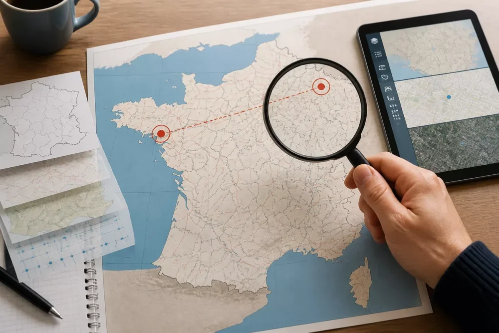
The simplest way is to apply the method to two real and clearly distinct cities. Take Quimper: the city is located in the Finistère department, in the Brittany region. With this trio, locating it on an administrative map becomes immediate. The same logic applies to Reims, which belongs to the Marne department and the Grand Est region.

This type of example shows why reading by department and region remains so practical. An isolated city on a map does not say everything; a city placed back in its territory says much more. You can then find it quickly, compare its environment, or prepare a more in-depth search on living conditions, routes, or services.
If you are looking for a city to live, work, or study in, the administrative location must then be connected to concrete criteria: accessibility, employment, size of the urban area, transport, and budget. A city well located on the map is not necessarily the one that will best suit your needs. This is where geography meets decision-making.
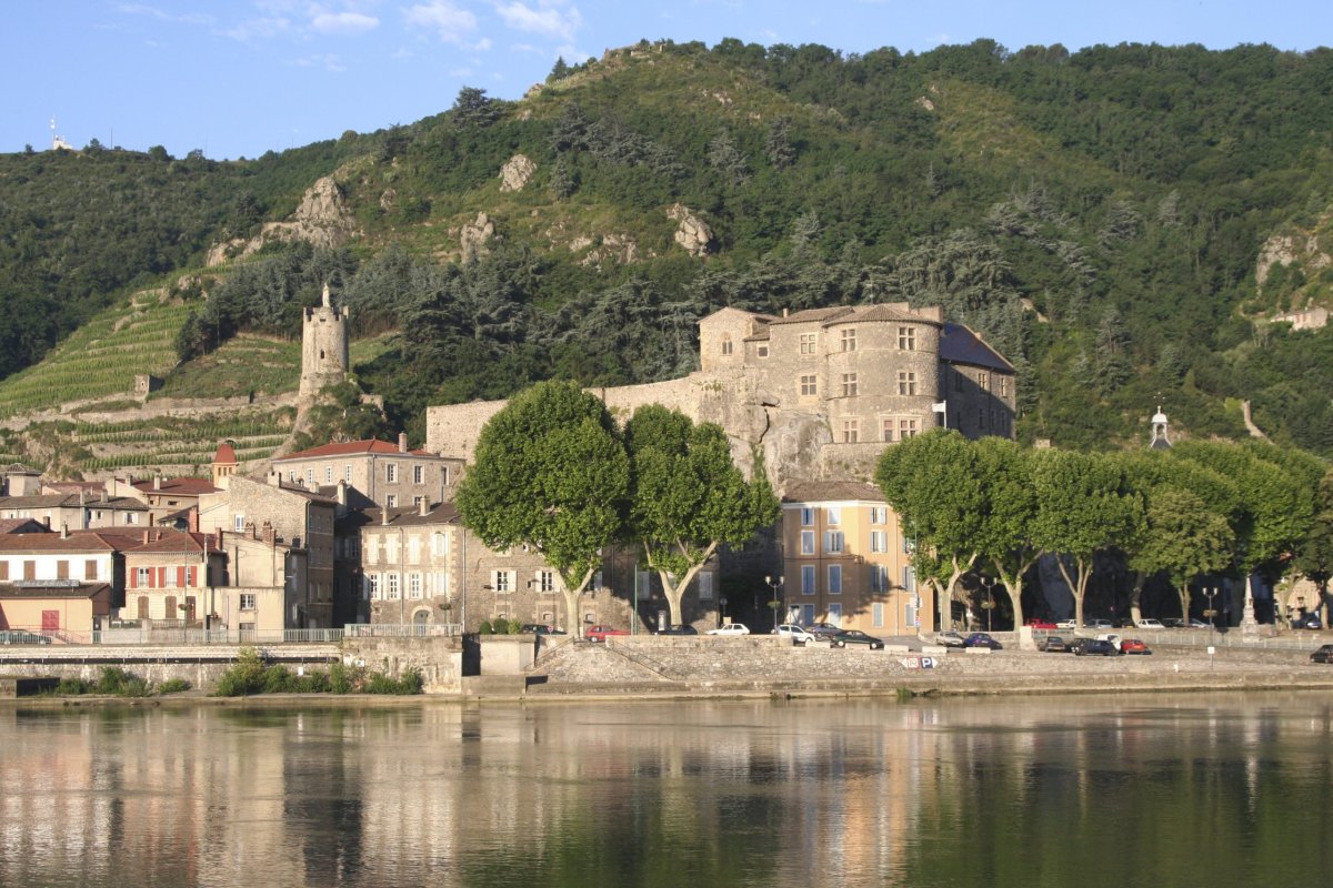
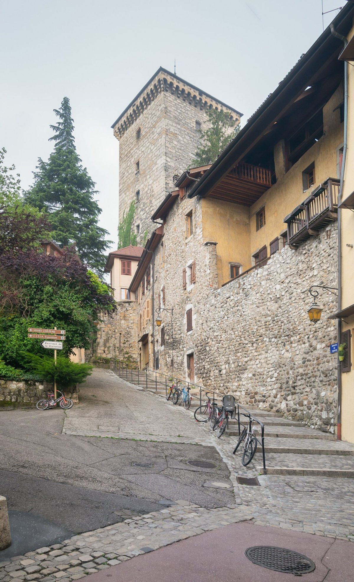
And if your search remains very visual, a detour through a heritage guide can also help to place a city in its territory and local attractiveness. For example, a city near a remarkable site is read differently on the map, as seen in this guide to the most beautiful castles of France.
FAQ
How can I know in which department a city is located?
The most reliable way is to check the official name of the municipality in a reference database or on a detailed administrative map. If the name is ambiguous, the postal code and region allow you to quickly confirm the correct department. This is especially useful for small homonymous municipalities.
Is a city and a municipality always the same thing?
Not always, even though in common usage they are often confused. The municipality is the administrative unit, while “city” sometimes refers to a larger urban center or a group of dwellings. For an administrative map of France, it is the municipality that serves as the official marker.
Why is the region not enough to locate a city?
Because a region covers many municipalities and departments. It provides a broad territorial framework, but not precise enough to find a city without another reference. Whenever you need to avoid a mistake, the department + municipality pair remains much more effective.
What is the best approach when there are several cities with the same name?
You need to cross-check three pieces of information: the department, the region, and, if necessary, the postal code. This trio prevents confusion between homonymous municipalities. On an administrative map, this is often the only way to lock in the correct location without hesitation.
Is an administrative map enough to choose a city to settle in?
It is enough for orientation, but not to decide on its own. To truly choose, you need to add concrete criteria such as budget, commutes, employment, and everyday services. The map gives the location; the rest provides the quality of use.